Showing posts with label 62. Show all posts

Tuesday, December 13, 2016

Twelve Months of LFD (2016)

I'm doing the year-end meme wherein I compile the first sentence of the first post of every month. Meme rules are as follows, as per DrugMonkey:
Post the link and first sentence from the first blog entry for each month of the past year.
I also add the first photo from the same first post. Previous takes on this Twelve Month meme at LFD were posted for 2008, 2009, 20102012, 2014, and 2015.

Aaand...here's the year 2016 for LFD:

January:
I've gathered up a collection of rocks to see which ones will float and which ones will sink.

February:

After checking out the southern route to Mineral Ridge while on my 1976 thesis quest, I headed north out of Silver Peak on then Highway 47 (now S.R. 265), carefully measuring the miles to the left-hand turnoff.

March:
With Mineral Ridge in my rear-view mirror, I stopped briefly at the basalt cinder cone, The Crater, which is located right on the side of the road just a few miles north of Silver Peak.

April:
From the vantage point of the end of the last post, a little southwest of Luning, Nevada, I turned around and pointed my camera northeast across Soda Spring Valley ... and paused to think back to the late 1980s, when we in the Western District of Former Mining Company had finally taken over exploration of the Walker Lane, which until then had been a mostly unexplored part of the Nevada District.

May:
I'm not sure how I got started on checking different words and concepts on Google Books Ngram Viewer yesterday, although my "History" tab suggests to me that it might have been related to some reading I was doing on science fiction.


June:
I collected this hand sample from the Original Bullfrog mine, Nye County, Nevada, sometime back in the mid to late 1980s when doing recon in the area, then cut and polished it—probably with a company saw and grinding wheel.

July:
We're now about two thirds of the way up the hill toward Red Pass on the Titus Canyon road, a one-way road that runs approximately east to west from Nevada into California, starting not far south of the ghost town of Rhyolite.

August:
There I was, preparing a few photos for posting in the ongoing Death Valley Trip – Titus Canyon series, doing my usual thing of marking up photos in MS Paint (I'm too cheap to buy any real photo programs), when I figured that I must have something around the house that might work better than either dragging the cursor across the screen with my trackpad or dragging my finger across the computer's touch screen.

September:
Now we'll leave the parking area near the Leadfield sign and, as I promised last time, we’ll walk out to what I’ve been referring to as the “far west cabin," although maybe that should really be "far northwest cabin."

October:
At the end of our last post—the one about the non-fold—we came into Titus Canyon proper and were looking at this view, down the canyon and to the west

November:
Just a bit of stibnite for your #MineralMonday.

December:
When I drove to the area on the south side of the Whipple Mountains where I ended up camping amidst downpours and nearby lightning, I thought I'd grab a few photos of the Colorado River Aqueduct, which passes through just north of CA Highway 62 on its way to the greater L.A. area, but an RVer was camped just beyond the aqueduct overpass, so I blew it off until I left.

Thursday, December 1, 2016

More From the Road: The Colorado River Aqueduct

When I drove to the area on the south side of the Whipple Mountains where I ended up camping amidst downpours and nearby lightning, I thought I'd grab a few photos of the Colorado River Aqueduct, which passes through just north of CA Highway 62 on its way to the greater L.A. area, but an RVer was camped just beyond the aqueduct overpass, so I blew it off until I left. (I'm not terribly social while in the field, especially when traveling alone.) On my way in, I took one shot showing the signage and the overpass (first photo). In the Whipples (and elsewhere), the aqueduct goes underground in several places, usually to allow passage of large dry washes. It's at these points that dirt roads can cross. The sign says, "Private Right of Way. Any Person Entering Thereon Does So at His Own Risk. Permission to Pass Revocable at Any Time. The Metropolitan Water District of Southern California." It is probably referring to the road paralleling the aqueduct, rather than the road crossing it, but who knows.

I stopped to take a few more photos on the way out during the early morning of the next day (after having coffee, of course!). These photos can be used to help illustrate a few stories I have about doing recon and exploration in the Whipple Mountains area—stories that date back to 1981, resume in 1983, and continue off and on after that through the late 1980s. (That's really why I went out of my way to drive into the area in the first place.)
The entire aqueduct, where above ground, is surrounded by a fairly hefty chain-link fence and more "No Trespassing" type signage in English and Spanish.
In this second view (above), Savahia Peak and its detachment-tilted Tertiary volcanic rocks, which we saw earlier, is sticking up a little.
View of the aqueduct looking through the chain-link fence.
While working in the area during a misconceived June recon program (June: ugh and yikes!), my field partner and I fantasized about cooling off in the water by tying ourselves off to the fence with ropes. We didn't think we'd want to be sucked downstream into the next underground section of the aqueduct, even though that section is a relatively short one: only 204 feet (61 m). But the rope idea, that might work!

Tuesday, November 8, 2016

From the Road: Storms

I got kind of bogged down with traveling and went light on the posting. Part of this has to do with the nature of posting from the road. I decided not to try to post using a mobile connection, for various reasons, and so that meant that I needed a wifi connection at night. One night, that was unavailable. Additionally, my chosen destination had me so busy that I didn't hardly touch the computer, even though I had great wifi. While there, I had Other Priorities.
Jumping cholla fruit.
And so, here we are back on the alluvial fan coming southward off the Whipple Mountains, camping under cloudy skies.
The camp is fine, although the vehicle unmodified is an uncomfortable place to sleep. And it was crowded, because when it started raining I had to move most things back into the Jeep. And then ... lightning. At first the flashes were distant, south of the Big Maria Mountains and north of the Whipples. But it rained, and depressions in the desert pavement filled with water, and I worried about the major wash I had crossed: Would it flood?

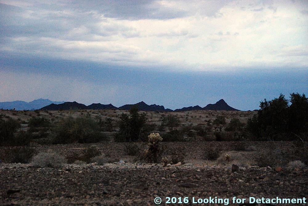
I tried getting photos of the lightning, and this is as close as I came: a leftover bit of the strike over to the left, hitting behind the darker pointy hills (a light-colored line going straight down, probably easiest to spot if you know where it is).
After awhile, I dozed a little. Then it was suddenly quite bright, the flashes making me think that surely someone was bombing the area, although there was not much sound at first. I sat up and looked around, and it gradually became clear that the blinding flashes were bolts of lightning, this time all around, moving closer, until some thunderous crashes were finally within less than a mile. Would I be hit? Is a plastic topped Jeep as safe as an all metal pickup truck? I still don't really know, but I wasn't hit, and eventually the second downpour stopped. Finally I actually slept.
Turtle Mountains before they were obscured by rain.
Turtle Mountains in the morning.
In the morning, the wash was fine.
The road was its usual rolling self.

Monday, October 31, 2016

From the Road: Whipple Mountains

Savahia Peak in the Whipple Mountains, with cholla.
And here's a cartoon of the geology.
The upper plate volcanic rocks are dipping moderately to steeply to the west (cyan bedding). The Whipple Mountains detachment fault (hachured dark blue) is fairly flat-lying in this area, separating reddish, hematitic upper plate rocks from greenish, lower plate chloritic and mylonitic gneisses. I've drawn in a few approximately located listric normal faults in bright blue to illustrate the general structural configuration. The upper plate has moved to the east relative to the lower plate, as indicated by both the dip of beds in the upper plate, and (especially) by the movement on upper plate listric normal faults.

Friday, October 28, 2016

From the Road: Mountains Partly Covered with Sand

I stopped along the way to check out some run-down and decrepit old buildings in the valley near Twentynine Palms (the valley of Dale Lake, a dry lake or playa, sometimes called "Wonder Valley"), and came upon an area where not only were the mountains being choked and overrun by their own alluvium, they were also being buried by pinkish orange sand blowing in from the western Mojave. This is the southern Sheep Hole Mountains near the western approach to Clarks Pass. The pinkish orange color is from the abundance of K-feldspar often pink to pale orange in color) in the sand.