Before I get very far into this blog post, I have to say that the Blogger interface, with its recent "upgrade," now sucks due to sudden changes in the way the HTML works. First off, the code for each photo is different than it used to be, such that I have to go back to older posts to duplicate spacing at the top, bottom, and left margins. I mean, I guess if I was 100% prolific with HTML, I wouldn't have to do that, but every time they’ve done one of their upgrades, I’ve had to modify the way I enlarge the photos to the right size, and have to recreate or copy the HTML that controls the way my photos display—and quite frankly I do give a damn!
Back to our trip. As I
mentioned earlier, it was hot, so I didn't stop very often on my trip down old Highway 8A (now S.R. 305) from Battle Mountain to Highway 50 near Austin, en route to the Northumberland caldera. I did, however, make a point to stop at an old stone house along the Reese River—possibly the original Walters Ranch, though the USGS map shows the ranch down in the green valley closer to the river.
The old place is holding together fairly well, though it looked a little more rundown than the last time I stopped.
A closer view of the entry area, with quite a bit of carved graffiti.
An old rusty stove sits in the ruins of the old stone house, below the caved-in roof and amidst the partly discombobulated walls (stove = dark patch in lower right of photo).
The roof has slumped more than the last time I stopped, which might have been as long ago as 2012. The meadow beyond—the valley of the Reese River between the Ravenswood mountain range on the west and low hills that lie more or less between the Shoshone and Toiyabe Ranges on the east—is often quite green; here it's looking a tad dried out.
At 12:29 pm, toward the end of my little stop, it was 96°F.
A little farther south I drove past the location where FMOH and I canoed meanders of the Reese River back in 2006. This time, the meanders were choked with dark green sedge and the river was too narrow for a canoe.
My
next stop was Austin, for gas. I prefer to be fully fueled when traveling the back roads of Nevada. After fueling up, it was up and over Austin Summit on Highway 50, then up to Bob Scott Summit, where I stopped briefly for a pit stop and to consider Bob Scott as a campsite. But no, I wanted to keep going. Scattered clouds hovered overhead, and a light sprinkle hit the windshield. At 1:20 pm the temp was 84°F.
Beyond Bob Scott, it was downhill to the turn off on old 8A (now S.R. 376) into Big Smoky Valley. I thought about
the old camp on Bowman Creek as a possible camping location, but blew that off. I was shortly at the turnoff to Northumberland Canyon.
In this photo, taken just past the turnoff from pavement, Northumberland Canyon is almost 12 miles across Big Smoky Valley as the crow flies. The mountain range that we're looking at, on the east side of the valley, is the Toquima Range; the singular mountain to the right is Mount Jefferson, third most prominent peak in Nevada. I've been to about 11,400 ft near the North Summit. The South Summit reaches 11,941 ft.
I arrived at the western mouth to West Northumberland Canyon at about 2:30 pm and pulled off on a side road where I had a relatively elevated view of Big Smoky Valley and the Toiyabe Range beyond. A low area in the mountain range (just left of center in the photo above) marks the drainage basin of Kingston Creek. The tiny town of Kingston sits on Kingston Creek, right at the range front. Bunker Hill, the rounded peak right of the low spot, reaches 11,473 feet in elevation.
* * * * *
2:45pm: It's now 92°F. I just walked a short ways up the dirt road behind the Jeep, thinking I'd check the road to the range front, but I gave that up for the heat. Instead, I'm sitting next to the Jeep in a lawn chair, enjoying the view. A few clouds overhead look threatening—possible T-storms. I won't cross the flash-flood prone Northumberland Canyon dry wash until...well, hopefully the clouds will dissipate. The crossing right now would be perfectly fine, but if the canyon floods, I'd be stranded on the other side. A long time ago, there was a road across Big Smoky Valley going back to 8A north of Kingston, providing a possible escape route if stranded; I have no idea if that road exists anymore.
There was a huge wipe out of a flash flood in West and East Northumberland Canyons back in 1979. Heavy barite ore from the small mine on the west side of Northumberland Pass was washed down canyon, as was a USFS truck. Fortunately no one was inside the truck.
Back in 1978, in the reddish hills across the dry wash of West Northumberland Canyon (behind the Jeep in the photo above, or somewhere in the low part of the reddish hills in the photo below) I left a standard Estwing rock hammer leaned against an outcrop of tuff as scale for a photo. I've looked for the hammer a couple times, both before and after the mega flash flood of 1979. I suppose it's part of the drainage, downstream somewhere. But who knows? Maybe it's still there, leaning against the outcrop.
The reddish brown
tuff of Hoodoo Canyon, 31.4 Ma, overlies whitish volcanic and volcaniclastic rocks that include Ts6, an air-fall tuff related to the tuff of Hoodoo Canyon, and Ts5, 4, and 3—and possibly Ts2 and 1—which are all intracaldera sediments deposited after the partial collapse of the ~32 Ma Northumberland caldera and before deposition of Ts6.
2:53 pm: I've frequented this valley, these parts, since before 1978. In fact, the first time I camped in the area was up on Pete's Summit in 1976, after seeing the Ordovician graptolites in the Vinini Formation while on a grad school field trip. It's my country, I feel, and if I had a house up here on this pediment, I'd sit outside and stare at the basin, the way I did back in 1979-81 when the company put me up in a small cabin above Kingston. There's usually no no one around for miles, for at least ten to fifteen miles. The view is awesome.
It's 4:27 pm now, and I've crossed the wash and moved to the site we used to call the Hot Spot, so named for it's anomalous gamma radiation and U3O8 minerals. From the camp I've chosen, I can look northwest toward Kingston Canyon, east into Hoodoo Canyon, and south toward Northumberland Canyon. The wind is coming in from the northwest, and it's 91° F in my little camp. It's five hours to sunset according to
the hand method, though at five hours away, the method is grossly inaccurate.
4:51 pm: I'm cracking an All Day IPA. Until the sun is lower, I won't set up camp more than I have already, which is only to remove the ice boxes, the water cooler, and folding chair. I'm somewhat low on ice, and the beer isn't the coldest beer in the world, but it's refreshing. And now the sun has come out from behind those formerly threatening clouds, so I've moved into the shade of the Jeep. A tree would be nice!
* * * * *
As the sun got lower, I drank my cool beers and had a minimalist dinner of chips and dip. The sun finally went behind the clouds hovering over the Toiyabe Range. I watched the sunset colors change, took many photos, marveled at the yellow-orange crepuscular rays, took more photos, and basked in the quietude of the area.
Virga and a cliff of Northumberland Tuff glow reddish orange.
I had another beer or two and took more photos. At some point, the sun went down, but with the Toiyabes in the way and no connection for my cell phone, I could only estimate the time of actual sunset, guessing it to be about 8:05 pm. According to
SunCalc, the sun set at 8:10 pm at my campsite. The hand method referenced earlier gave a time of about 9:25 pm—off by almost an hour and a half! (It's more accurate within one to three hours of sunset, especially when there aren't any mountain ranges looming above the true horizon.)
By 8:43 pm, I had my headlamp on, using the red light setting. It was way warm for sleeping, but I didn't check the temperature by turning on the Jeep. Overall, it felt strange to be camped there in the middle of nowhere during the middle of a summer heat wave. And for some reason, I felt creeped out by a long ago memory of a lone mountain lion in the Toquimas, so I didn't want to sleep outside the Jeep, making for a night that was hotter than necessary. Eventually, I slept, albeit restlessly.
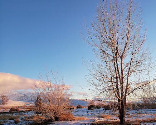
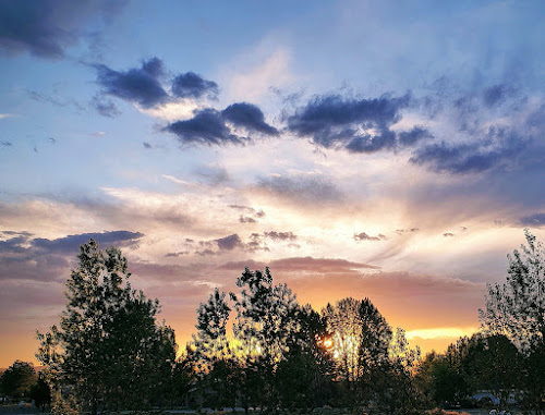
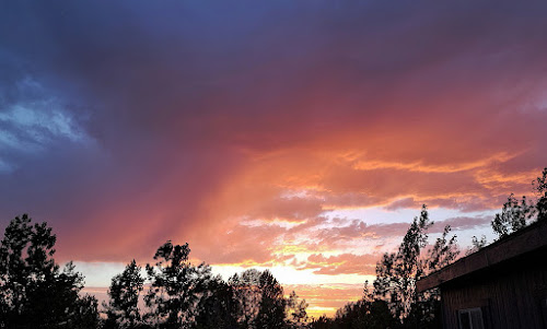
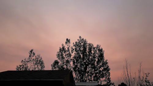
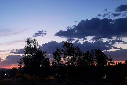


 Fishing boat on the lake with more smoke from nearby forest fires.
 One of our few blooming daisies in the early morning.
 A parent Osprey exhorts one of two juveniles, still in the nest, to fly, already.
 Midday: More smoke over the water.
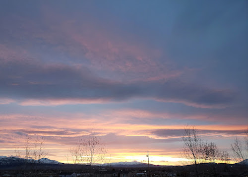
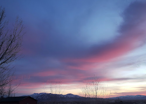
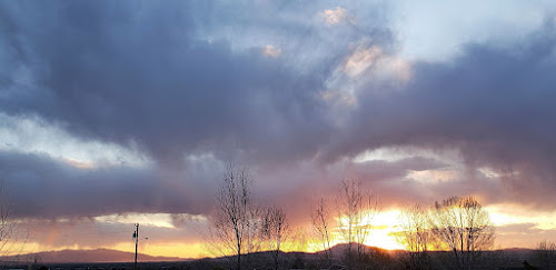
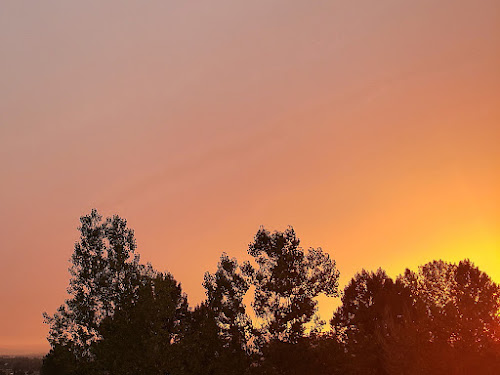
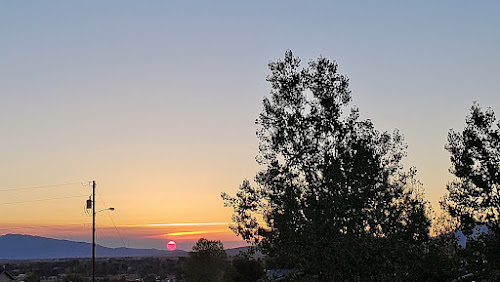
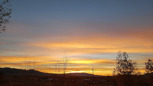
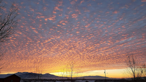
 Evening: A bright orange-red sunset.
 While returning from a recent recon trip out in the middle of nowhere, driving back to Highway 50 on another endless Nevada dirt road — in this case the Monitor Valley Road, AKA the Old Belmont or Belmont Road — MOH and I came across this sign marking the approximate location of the Geographic Center of Nevada.
 I say approximate because several different lat-lon locations can be found here and there on the web, with two USGS locations being about 0.75 to 1.5 miles northeast of the sign.
 The sign is at the junction of the Monitor Valley Road and a side road going east into Wallace Canyon in the Monitor Range.

 After getting back in the truck, we rolled north, making it to Highway 50 just as the sun was setting.
