
Looking across the Turnagain Arm fjord at our general destination, the Kenai Penninsula, that flat area west of the edge of the Kenai Mountains.
It is in the usual order of things for us to make our way down to the cabin as soon as possible after arriving in Alaska, sometimes heading out as early as the first or second day. This time, we drove down on the fourth day.
It is also in the usual order of things for everyone to travel in one vehicle, but this time we took two: the truck needed to get to the cabin so it could be in a position to conduct cabiny things like putting the boat in the water.
 Hard to tell for sure with the clouds, but this is most likely Mt. Spurr (MSRMaps), a volcano west of Anchorage and across Cook Inlet (AVO Webcam). It last erupted in 1992.
We made our way eastward down Turnagain Arm on AK State Route 1, the Seward Highway, without making the usual stops at Beluga Point to check the tides or at Girdwood to get coffee. We speculated about the tides, and whereas I thought the tide was possibly going out, the wind was very strong, creating huge easterly waves that obscurred the water motion. The tide books indicated that the tide was either almost all the way in, or just starting to go out, but I didn't try hard to parse the time differences between Kenai and Anchorage and then to translate those times to the arm.
I looked for Beluga whales, but it was early in the summer: they follow the fish, especially the silvers and humpies of August. It was only the late run of July reds that was just beginning to come up the arm; I looked for Belugas nonetheless.
 The light on the water of the arm is always fascinating to me. Here it's flickering in thin patches just below the last major valley on the south side of the arm, Seattle Creek.
 I seem to photograph the valley of Seattle Creek every time I pass through: it's a great example of a U-shaped valley carved by a glacier that once entered into the larger glacier that carved Turnagain Arm.
 We passed the turnoff and viewing area for Portage Glacier near Portage and made the turn at the east end of Turnagain Arm. Crossing the second bridge across the Placer River — a river typical of anastomosing rivers and streams coming off ice fields and glaciers, in this case the Spencer Glacier and a small icefield northwest of the larger Sargent Icefield — I could look northward up the Placer into the valley of the Twentymile and Glacier Rivers (MSRMaps).
Welcome to the Kenai!
 The fireweed was in relatively early bloom: when the flowers at the top are blooming it indicates that fall and Termination Dust are just around the corner. Here, only the lower flowers are blooming.
We skipped a usual stop at Summit Lake Lodge in favor of continuing onward to the Sterling Highway (still AK Route 1, but no longer the Seward Highway).
 Near Cooper Landing we began to catch tantalizing glimpses of the Kenai River, a river we would soon fish.
 We bypassed the cabin, needing to run to town to purchase fishing licenses, thereafter going directly to Buckets for dinner.
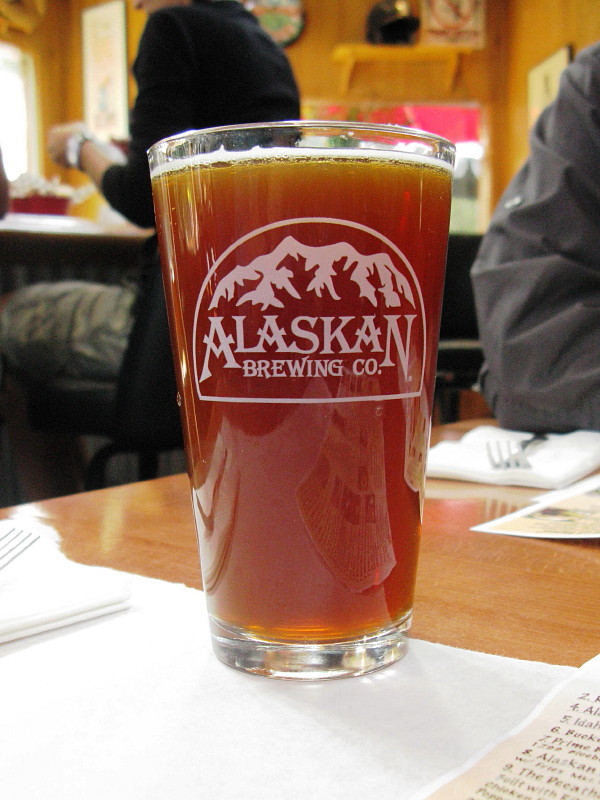 We both had the Sunken Island IPA by Kenai River Brewing.
Related Posts:
Getting There: AK2008 Day 1
Turnagain Arm: AK2008 Day 2
We Make the Turn: AK2008 Day 2
Summit Lake and Beyond: AK2008 Day 2
Fireweed in Alaska: Is it Fall?
5 comments:
I love your picture of the fireweed, what a gorgeous plant! And that IPA looks delicious...I've never had anything from Kenai River Brewing, I'll have to add it to the list!
More brew than food on that menu.
What a great place!
@D - Thanks! Not sure if Kenai River ships outside Alaska or southcentral, even, but they certainly belong on your list.
@Gaelyn - Haha! I didn't show the food on the other side. :)
Your Alaska posts always make me want to plan a trip right away. Gorgeous!
Thanks, Cian.
Post a Comment