These are a few of the ways I can save topographic maps to show on this blog: through
MSRMaps (when it's working), through the
USGS TNM 2.0 Viewer, and through the
USGS Map Locator & Downloader. I can link to actual portions of MSRMaps and TNM 2.0 Viewer, but can't link to a downloaded USGS map, which comes as a pdf.
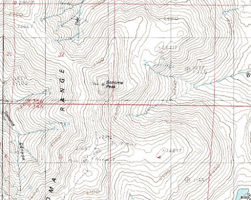 |
| 1) MSRMaps topo view (jpg) of Sonoma Peak, Humboldt County, NV. |
This image looks best to me on the blog, although it doesn't look as good as number 5, below, when enlarged. MSRMaps images are saved by hitting "Download" near the upper right corner of the map, then right-clicking to "Save As" a jpg.
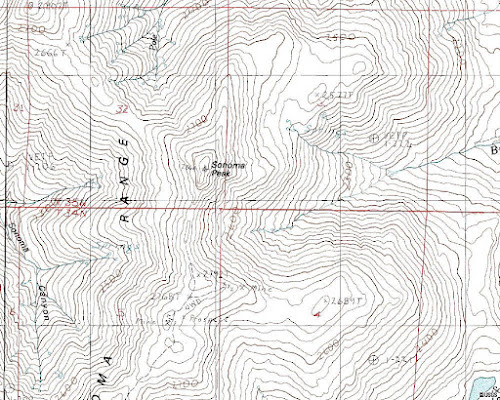 |
| 2) Same MSRMaps view sharpened (jpg). |
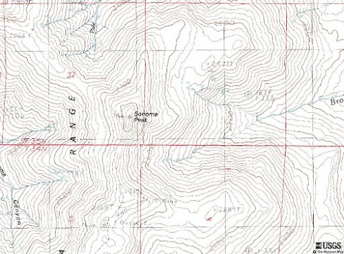 |
| 3) USGS TNM 2.0 Viewer view (jpg) of about the same area, cropped from original widescreen view (see last two images). |
TNM jpg images number 3 and 4 both look kind of blurry or washed out to me, whether enlarged or not.
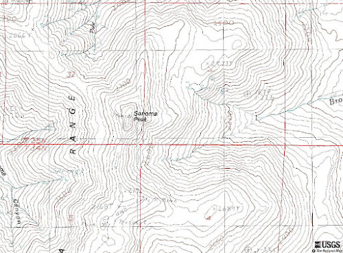 |
| 4) Cropped TNM 2.0 Viewer view (jpg), sharpened. |
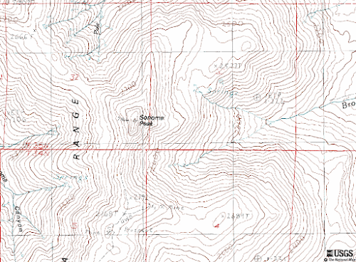 |
| 5) Cropped TNM 2.0, png version. |
Not sure why image number 5, above, has a darker background; it looks nearly white when enlarged. I think this is the best version when enlarged, and the second or third best version on the blog when compared to images 1 and 2.
The image above looks rather washed out to me; it also appears to be more colorful.
Somehow the TNM Viewer doesn't get the west edge of the Adelaide 7.5' quad quite aligned with the east edge of the Sonoma Canyon 7.5' quad!
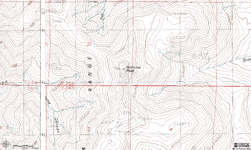 |
| 8) Same TNM view as previous, but now saved as a png. |
I think the png view of this last set looks a little better, especially when enlarged.
To save TNM images, hit the little printer icon in the upper right area of the screen, then choose from pdf, jpg, or png versions. Then wait a bit, then hit "Link," which opens a pdf, jpg, or png in another browser page. One saves from that page, either through the regular pdf route, or by right-clicking and "Save As." A pdf of this particular map can be seen
here.
The TNM 2.0 Viewer has a lot of useful options, which you can explore further on your own.
All maps shown here are courtesy of the USGS.


7 comments:
Very interesting tradeoffs. Blogger does make it easy to compare your enlarged images -- clicking on just one opens not only the picture enlarged, but provides a row of thumbnails of the rest of the images in the post. I went clicking down the row to compare each of your images in an enlarged format.
Very cool - thanks for posting as I was not aware of this site. TNM platform is being updated this afternoon so will wait to bookmark & download it. Good to know I can now post topo images this way, instead of taking a photo of the map on my floor!
Another very handy post, thanks.
Tony, when clicking on the photos that way, I think I like 2, 5, and 8 the best. I can only compare them in separate browser windows prior to posting; not quite as convenient!
I was directed to another map site that also seems useful, although their printing/saving capabilities aren't necessary as good: Sonoma Peak at Caltopo.com. Also, they don't seem to have the 1:100,000 sheets, just the 1:250,000 and 1:24,000. But you can zoom way in on the 250-thou sheets!
I am rather fond of this scaled down version of TNM
http://coastalmap.marine.usgs.gov/FlexWeb/national/ShoreLC/
designed for shorelines but very useable everywhere. Its faster and very easy to flip between topo and aerial images. Does loose some resolution between the map and posting on blogger however.
Thanks, Dan! That will be a good one for checking out names of canyons and other features -- which is one of the main reasons I use the maps.
Post a Comment