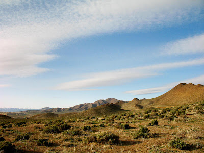
 Day 2: The second day started out mostly clear with some high clouds. We started off in the Albite Hills - below our soon-to-be mapping spot, the presently inactive, McArthur Mine open pit (now an active exploration deposit). In the lower hills, we looked diligently for some sphene and rutile in the bleached Bear quartz monzonite and examined a prospect trench that had good showings of some copper oxides.
Alteration map of the McArthur Mine area.

Prospect trench in the Albite Hills.
We soon drove to the upper bench of the McArthur Mine - we were there to learn the detailed mapping method called "The Anaconda Method." The Anaconda Method was designed by Anaconda geologists in the 1960's. It's a very specific and detailed form of mine mapping, designed in part for mapping porphyry copper deposits, which can imaprt a lot of information on one sheet of paper. It can be used for underground, open-pit mines, trenches, and roadcuts, and can be adapted for any type of deposit or area. I could find very little reference to this particular method online; we were given a 1997 handout printed by Marco T. Einaudi of Stanford, entitled Mapping Altered and Mineralized Rocks: An Introduction to the "Anaconda Method." The handout is as detailed as the method!
The upper bench: one vertical, felsic Tertiary dike on the left; several dipping, mafic Jurassic dikes, especially on the right.

Detail of one of the mafic dikes, which has soaked up a lot of copper oxides.
Each person mapped a 100 meter length of bench face at 1 cm = 2 m, with a 100-meter tape strung out along the bottom of the bench face. Mapping, as in underground mapping, is done at waist high, or some similar arbitrary height.

Mapping on the lower bench.


Day 3: Mapping is done for the day, and geos have gathered at van #1 for the afternoon wrap-up and discussion. Questions:
- How much sulfide and copper was in the rock originally and how much is there now?
- Where did the copper oxides [and carbonates and other non-sulfide copper] come from?
- What were the fluids like, and how can we tell?
Some answers were forthcoming upon discussion, and my field notes are quite messy!


1 comment:
Awesome! That's probably similar to what I'll be doing in a week's time. Can't wait!! :D
Post a Comment