 |
| As a reminder, we're here on Utah S.R. 92. |
 |
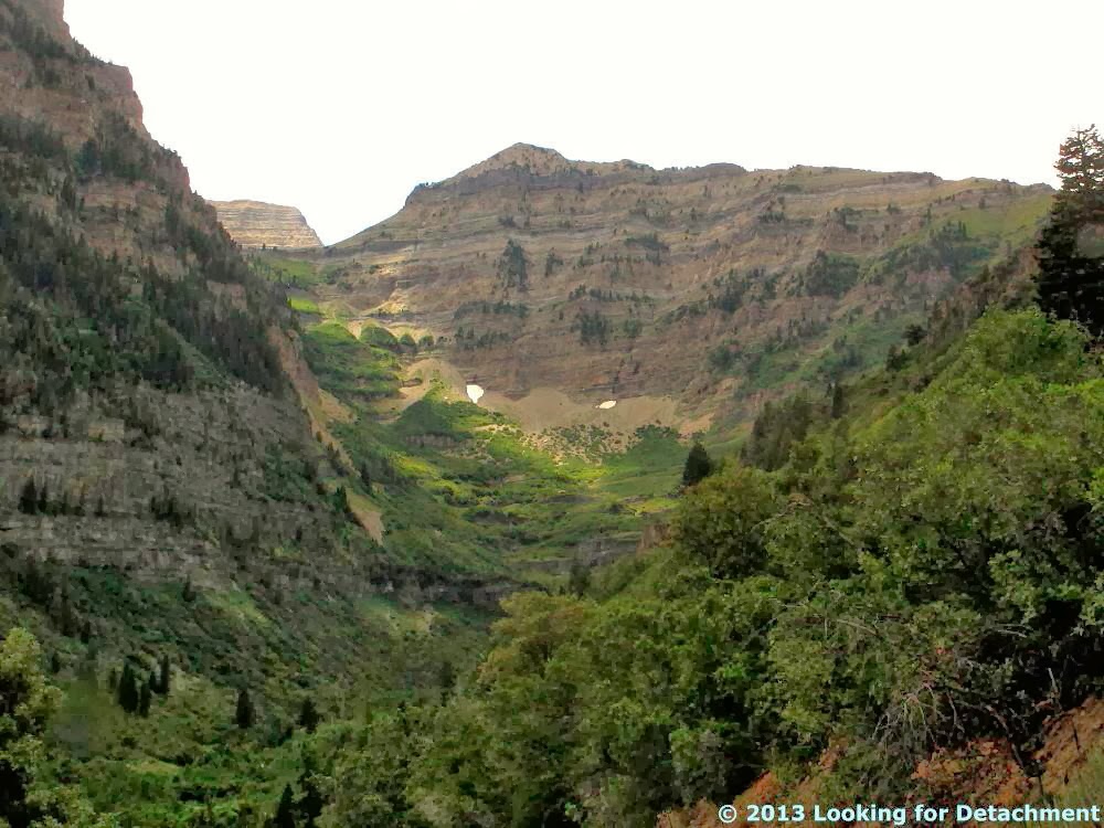
| As we approach, it appears that the canyon bisects an anticline, with bedding dipping north on the north side of the canyon and south on the south side. |
 |
| Closer view of the south wall of American Fork Canyon. |
 |
| A closer view of the north canyon wall. |
As we head into the canyon, the road fairly suddenly becomes a very narrow two laner (? -- more like 1.5!!) and goes upward and into the mountains. Not knowing at all what to expect at this point, we hope we have made a good choice in not turning back toward SLC (you'll have to read the last installment to find out more about why we ended up in American Fork Canyon in the first place).
Nevertheless, despite the demanding road and my migraine, we see some good scenery (and awesome rock formations).
 |
| North Timpanogos Peak (or North Peak), rising to 11441 ft (3487 m), reportedly underlain by the Bear Canyon Member of the Pennsylvanian Oquirrh Formation. |
 |
| Here we are a little farther on, looking back down South Fork toward American Fork Canyon. |

 |
| We approach the summit, which is marked at 8060 ft. |
 |
| More aspens. |
 |
| Our first glimpse of Mt. Timpanogos, 11749 ft (3581 m), also in the Bear Canyon Member of the Oquirrh Formation. |
 |
| Something not clear from most of these photos: it was a dark, cloudy day, always threatening rain. |
 |
| Roberts Horn, with the peak at 10993 ft (3351 m), same formation as before, looking about the same. |
At this point in our trip across the Wasatch, we've almost made it down S.R. 92 to our next road, and hopefully the last section of the trip report for Day 2.
View Day 2: Elko, NV to Vernal, UT in a larger map
Related Posts:
Across the West and Back Day 2: Are We Lost Yet?
Across the West and Back Day 2: A Hike along a Limestone Ridge
Across the West and Back Day 2: Across the Salt Lake Desert
Across the West and Back Day 2: A Side Trip in West Wendover
Across the West and Back Day 2: Pequop Summit to West Wendover
Across the West and Back Day 2: Looking for an Old Roadcut
Across the West and Back: The First Day
Intro to Recent Western Loop Trip
No comments:
Post a Comment