 And here, above, is the greater Fort Nelson to Liard Hot Springs region of British Columbia, Canada. Liard River is a tiny community at Mile 496 (HM) of the Alaska Highway; Liard Hot Springs, aka Liard River Hot Springs, is at Mile 497 (HM). I note the location of the hot springs on the image above - rather than that of Liard River - well, because the springs are a great place for a soak if you happen to be passing through.
Muncho Lake is a lake inside Muncho Lake Provincial Park at Mile 456 (HM) - the lake actually takes up quite a bit of north-south mileage along the highway, but mileage is traditionally taken from a particular historic refueling stop. Toad River is a town, at Mile 422 (HM) on the Alaska Highway; The Poplars at Mile 426 (HM) is a nice place to stay, with large logs making up rustic cabins (late 1990's info). HM = historical milepost; actual miles and kilometers have changed with road changes.
 Zooming in a bit above, we can see our particular area of interest better: Muncho Lake, the NNW-trending Sentinel Range of the northern Rocky Mountains, and Folded Mountain (link to topography provided by Ron Schott).
 Here's the Google Earth shot I considered using for WoGE #158. It's an image looking west, from one point on the highway where one can stop and take a photo.
 And this is what that image would look like at near ground level, just about what you would see while driving west on the Alcan.
 A photo! Now we can begin to see why it is, at least locally, called Folded Mountain.
 Folds!
 Close-up of the same folds!
 And closer still, from a postcard I probably bought back in 1998 at The Poplars.
 This is the sign at the Folded Mountain turnout, right at the eastern base of the mountain, at mile 409/km 658 (current mile/km):
Originally, all the rock of the British Columbia Canadian Rockies lay flat on the shallow sea bed of the western continental shelf where it had accumulated grain by grain over a billion years. About 175 million years ago the continent of North America began to move westward, overriding the Pacific shore and colliding with the offshore chain of islands. The continental shelf was caught in the squeeze. The flat layers slowly buckled into folds like those you see here. As time passed, folded mountain ranges sprang up across British Columbia. By 120 million years ago, the Rockies were showing above the sea. They grew for another 75 million years, rising faster than erosion could tear them down - likely reaching Himalayan heights. Active mountain building ended in the Canadian Rockies some 45 million years ago. The peaks have since been eroded to a small fraction of their original size.Additional and more detailed geological information can be found in the comments of my WoGE #158 post.
Some Geological References:
- Terranes and Tectonic Elements - our area is in yellow about half way between Watson Lake and Fort Nelson. That is the Alcan shown in red-brown between the two towns.
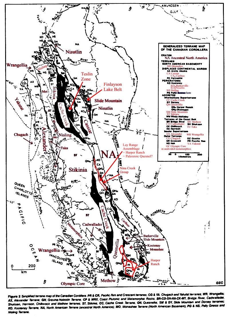
- Generalized Terrane Map of the Canadian Cordillera - similar to previous
- Ferri, Filippo, Rees, Chris, Nelson, JoAnne, and Legun, Andrew, 1999, Chapter 1: Introduction, of Geology and Mineral Deposits of the Northern Kechika Trough Between Gataga River and the 60th Parallel: British Columbia Geological Survey Bulletin 107, p. 1-8.
- Laudon, L.R. and Chronic, B.J., 1949, Paleozoic Stratigraphy Along Alaska Highway in Northeastern British Columbia: American Assoc. Petroleum Geologists Bull. v. 33.
- Faults, tectonic belts, and thermal springs of the Canadian Cordillera: from this home page - our area is in what's called the Eastern Marginal Belt on this map.
- Walsh, W., (year?), Geology - Liard Basin. Well penetrations and Drill Stem Test results of Middle Devonian carbonates: British Columbia Ministry of Energy and Mines Resource Development and Geoscience Branch, 1:125,000 - our area is just barely in the lower southwest corner of this map.
- Taylor, G.C., 1972, Geology, Tuchodi Lakes, British Columbia: Geological Survey of Canada, "A" Series Map, Map 1343A, 1:125,000, map and cross-sections - links provided by Howard from Calgary - our area is in the northern part of this map, and the cross-section of interest is A-B.
2 comments:
hmmm...I have a picture of that very mountain from my last trip down that highway. Such a beautiful drive.
Yes, you got a nice photo of some of the folds, along with the Stone Sheep, bear, the lake, and a lot of other places here. It's a great trip to make. I recommend it to everyone.
Post a Comment