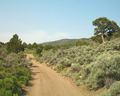
 One year ago today, I was out mapping along a portion of the Lincoln Highway in eastern Nevada.
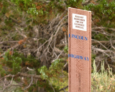
 And how can you tell it's the Lincoln Highway? Simple: that little brown marker along the road near the juniper tree.
 People use these signs to follow some of the several original tracks of the Lincoln Highway. In places, more than one dirt road is marked, partly because of major realignment of the road from the time of its inception in 19-whenever (different times in different places, from 1912 through 1915) to the time it became the early Highway 50 in Nevada (1925).
 "ROAD NOT MAINTAINED FOR LOW CLEARANCE VEHICLES." Indeed! Also not maintained for vehicles without low gearing. Also not maintained for commonly inclement weather: thunderstorms and mud in summer and ice, snow, and mud in winter through spring.
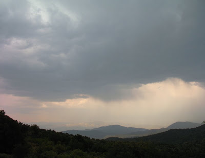
 Last year the monsoon came at the usual time, more like early to mid-July than this year's late May or early June.
 View from the Lincoln Highway dirt, two-track road, of the a thunderstorm, with verga. Smoke from summer fires have colored things a little reddish to yellowish.
 Light shines through the clouds onto the high mountains of the Duck Creek Range and perhaps some of the Schell Creek Range.
From Nevada Backroaders, PDF dated 7-22-2005:
We started out on Friday by running part of the old Lincoln Highway between Ely and Jake's Valley to the west of town. The Lincoln Highway was the first official coast to coast gravel highway that ran from New York City to San Francisco and was used, following various routes, from about 1913 until 1925 when highways began to be numbered. The section we followed was most likely used until 1919 or 1920 when the main route was moved and followed what is now US50. We got some great views of the Robinson Mine and still had a lot of wildflowers blooming which made for a great day in the hills and trees.The Lincoln Highway
The Lincoln Highway Association
The Lincoln Highway across Eastern Nevada, 1924 map
No comments:
Post a Comment