 The other day I decided I'd go out to Big Smoky Valley to explore a few things and places related to my past - things and places from days gone by when I worked in the area, which was primarily from 1977 through 1981. I was out to revisit some ancient Highway 8A history, as it were, although that particular section of old Highway 8A - which runs from Highway 50 east of Austin to Route 6 east of Tonopah - is now known as State Route 376.
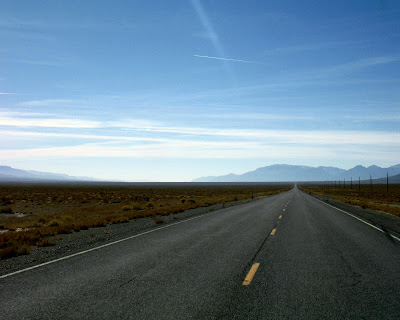
 I turned onto old Highway 8A and headed south. A long straight stretch of road immediately ensues, and so unless you are turning off to Spencer's Hot Springs or Pete's Summit, it can seem like forever before you get anywhere. It is, in fact, 19 miles of straight, paved pavement before you come to the first turn in the road, which is just after you cross over the Nye County line, and just before you come to the old road up the south side of Bowman Creek, where I made a little stop.
 Although I didn't really know where I'd end up after stopping at Bowman Creek, I finally continued south on old 8A, and then turned west to drive up the road to Ophir Canyon. Ophir Canyon is on the east side of the Toiyabe Range between Kingston Canyon (a canyon with a small retirement community) and Carver's Station, which was mostly a gas station, bar, and restaurant back when I lived in Big Smoky Valley.
I drove there to see if the road up Ophir Canyon was open - not because I thought that early snow might have closed it - but because I'd heard a rumor a few years back that it may have been blocked off by overzealous government agencies, but those may have been other roads, because Ophir Canyon was open.
 The road to the canyon turns south right on the range front, where it then drops into the canyon. Ophir Canyon is the narrow notch above the little yellow sign on the side of the road.
 The sign is there to make sure that you know that the road is steep and narrow. In fact, the first time I went up the canyon, the day after resting up from my overnight helicopter escapade on volcanic hills across Big Smoky Valley, I had to grit my teeth in places and was glad another young geologist was driving. I would have rated parts of the road as 8 or 9 out of 10 on the 4WD scale of difficulty, but experience changes things like that. I do recommend the drive: it makes a good alternate route over the Toiyabe Range - not a short cut, but a scenic route - steep on the east side, and shallow with a broad view on the west side.
 Above, driving into the mouth of the canyon.
 I drove a little past the initial entry area of the canyon, to see what the sign said - lot of signs in this canyon. This one says, "4WD ROUTE MAINTAINED BY CENTRAL NEVADA FOUR WHEELERS." And trust me, in these parts, that's a good thing. Some county roads have been closed, and then reopened with bulldozers.
 The sign also suggests that open-topped jeeps aren't recommended.
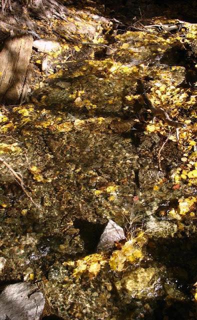
 I parked near the mouth of the canyon, where some old mining stuff is lying around, and went over to the creek.
 Of course, the creek isn't very deep if you happen to fall in, like most Nevada creeks.
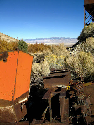
 There is some nice old mine and mill miscellany on the other side of the creek - mining and milling equipment from operations now defunct, falling-down to skeletal buildings, and pieces of metal, wood, and glass - along with a nice view of the Toquima Range across the valley.
2 comments:
That's quite wonderful. I do love Basin and Range- I couldn't live there; I like my rain too much- but I do love visiting. I also appreciate ending up at a creek. It's too easy to think of the inland west as all desert. Visiting a few mountain oases can really surprise someone who's not familiar with the desert. Especially so in SE Oregon and Northern Nevada. Sigh...
Glad you enjoyed this! Central and eastern Nevada are relatively high in elevation, even compared to the rest of the state, and there are a lot of oases - if you know where to look! In fact, that's true in dryer areas of Nevada, you just have to look a little harder.
Post a Comment